
Tongariro Volcanic Centre
A large natural environment means a distinctive part of the Earth’s surface defined by its common natural characteristics (eg mountain, desert, forest, river valley) that occurs at a national, regional, or continental scale. The environment can be in New Zealand or overseas. Our environment is the Tongariro Volcanic Centre.
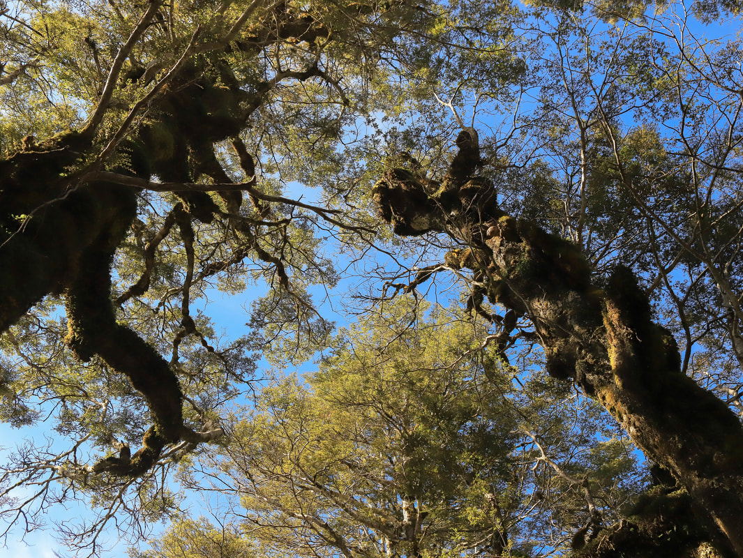
Natural characteristics (elements) of an environment include landforms (relief), climate, soils, and vegetation.
Processes include climatic processes; tectonic and other internal processes; erosion, transportation, deposition, and other surface processes.
Interaction of people with the natural environment may include cultural, economic, or political interaction.
Aspects are selected from:
- the characteristics of a large natural environment
- how the elements and processes of the large natural environment interact
- how a large natural environment is formed and changes over time
- how people interact with a large natural environment
- how people's perceptions of a large natural environment change over time.
Link to how NZ was formed
| how_was_nz_formed.docx |
Downloadable Notes
| 1_-_elements_of_a_large_natural_environment.pptx |
| location_of_the_tvc_and_features.pptx |
| 3_-_intro_to_the_characteristics_of_the_tvc.pptx |
| 5_-_evolution_of_the_tvc__1_.pptx |
| 6_-_denudation_processes.pptx |
| 7_natural_features_of_the_tvc_rangipo.pptx |
| 8_natural_features_of_the_tvc_mt_ruapehu.pptx |
| tnp_map.gif |
| vegetation_and_climate_at_tvc.pptx |
| nat_landscapes.ppt |
| tongariro_national_park.doc |
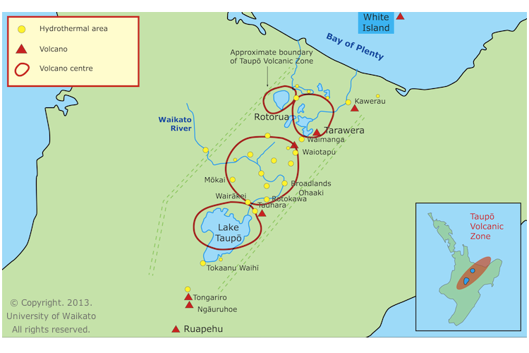
Location of Tongariro Volcanic Centre
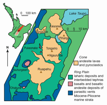
Location of Deposits at Tongariro Volcanic Centre
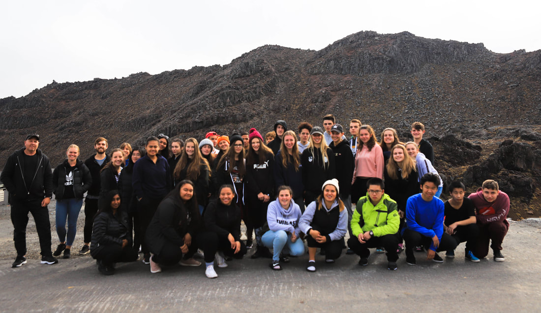
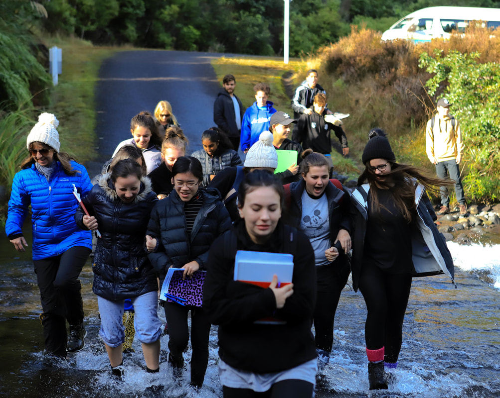
Humans in the Tongariro Area
| national_parks_act.rtf |
| park_management.rtf |
Tongariro National Park - Interesting facts
From yesterday to today
Tongariro was the first national park formed in New Zealand, and the fourth in the world. It was the first national park in the world to be gifted by a country's indigenous people, on 23 September 1887.
When established the original size of Tongariro National Park was 2,640 hectares. It has gradually increased to its present size of 79,596 hectares.
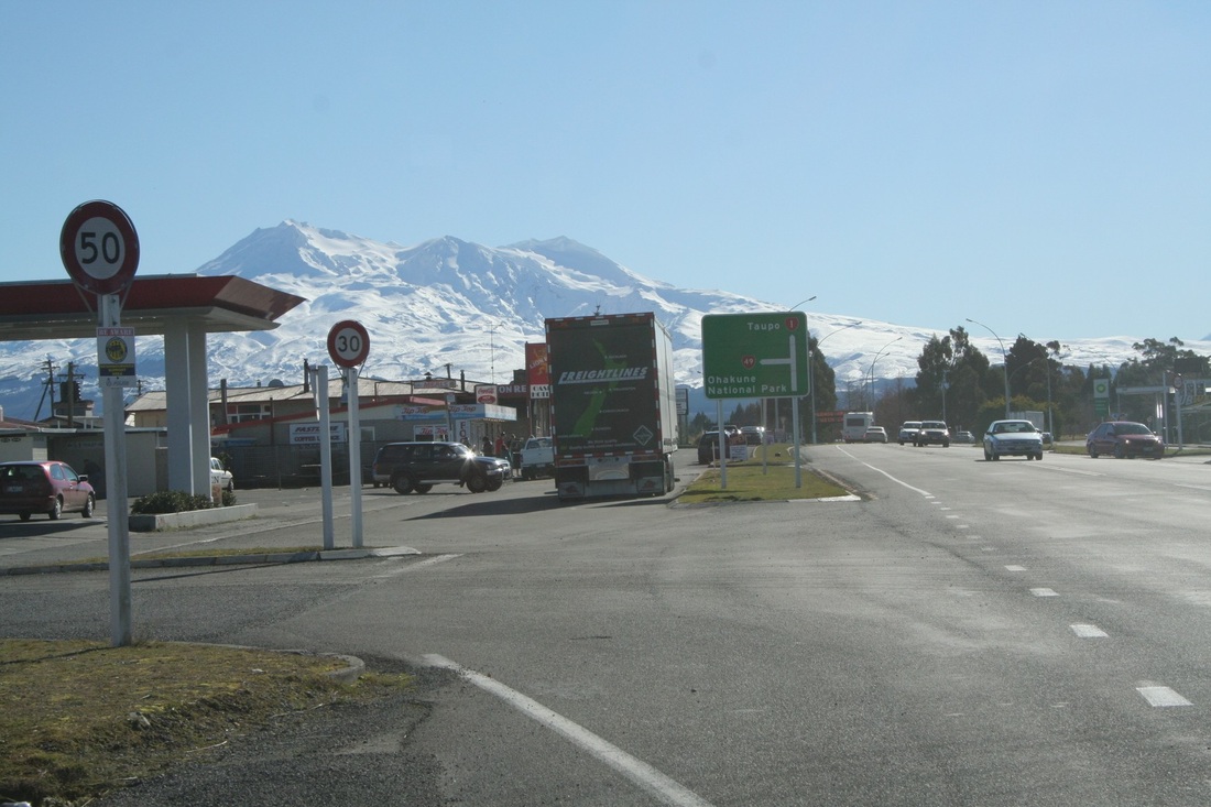
Today, approximately one million people visit Tongariro National Park each year. Despite the popular ski fields on Mount Ruapehu, there are more visitors in summer than winter due to the excellent hiking opportunities.
The park's central location means it is easy to access from both Auckland and Wellington and other locations in the North Island.
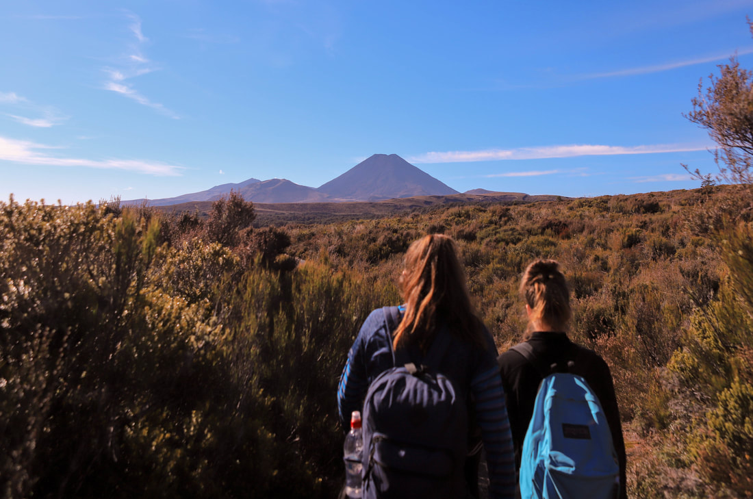
Mountain summits
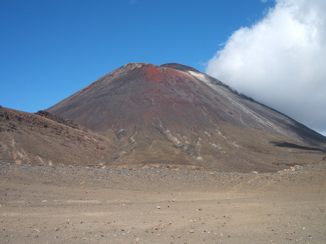
Tongariro National Park is centered around three active volcanoes:
- Tongariro 1967 m
- Ngauruhoe 2287 m
- Ruapehu 2797 m
- Tahurangi 2797 m (the summit and highest point in the North Island)
- Paretetaitonga 2751 m
- Te Heuheu 2732 m
- Girdlestone 2658 m
- Mitre 2591 m
Volcanic eruptions
- The Te Maari craters on the northern slopes of Mount Tongariro erupted on 6 August 2012 and 21 November 2012
- Traditionally Ngauruhoe has erupted at least every nine years, although the last eruption was in 1975
- Mount Tongariro's active Red Crater last emitted ash in 1926
- Mount Ruapehu's last eruption was 25 September 2007. Prior to that there were large eruptions in 1995 and in 1996
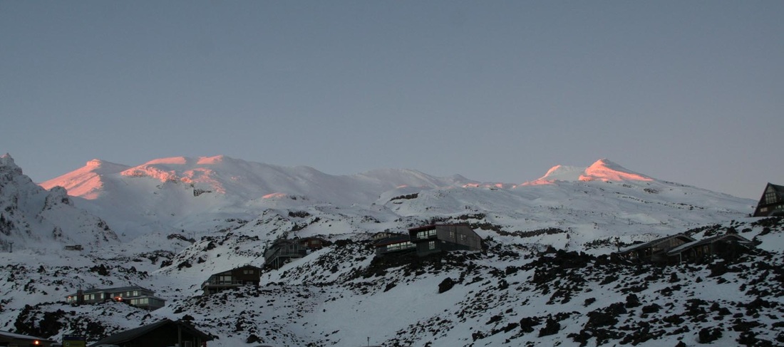
- Mount Ruapehu's eight named glaciers are the only ones in the North Island. The summit region has a permanent cover of snow and ice.
- The volcanic vent in the top of the mountain contains a warm, acidic crater lake. The lake passes through regular warming and cooling cycles, which may result in small eruptions of ash and steam.
- Mount Ruapehu is the highest point in the North Island and, like Tongariro, its history began before the last ice age.
- More than 60 eruptions from the Ruapehu crater have been recorded since 1945.
- During the 1995 and 1996 eruptions, the Crater Lake disappeared completely, then refilled over several years.
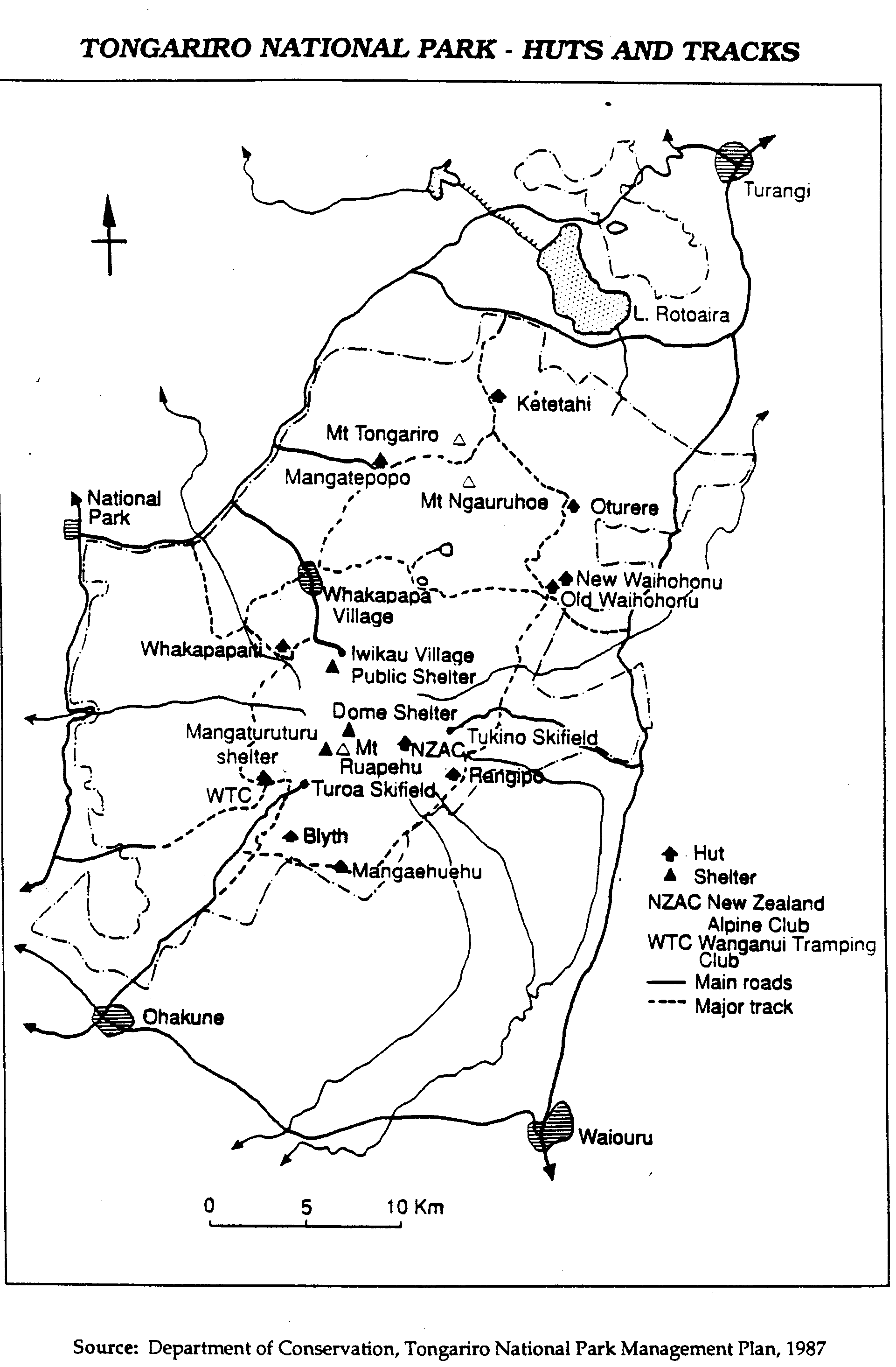
Backcountry huts and hiking tracks
There are eight serviced backcountry huts along two multi-day circuit hiking tracks. It is a fantastic experience going on an overnight hiking trip.
Tongariro Northern Circuit - one of New Zealand's Great Walks
- Oturere Hut - 1360 m
- Blyth Hut and Ruapehu
Mangatepopo Hut - 1190 m - Waihohonu - 1120 m (on both circuits)
Round the Mountain Track (Ruapehu)
- Rangipo Hut - 1600 m
- Mangaehuehu Hut - 1300 m
- Blyth Hut - 1400 m
- Mangaturuturu Hut - 1250 m
- Whakapapiti Hut - 1260 m
Dual World Heritage
- In 1990 Tongariro National Park was declared a World Heritage site, in recognition of its outstanding natural characteristics.
- In 1993 the Park was also granted Cultural World Heritage status under revised criteria (spiritual (intangible) cultural association), in recognition of its cultural significance and history.
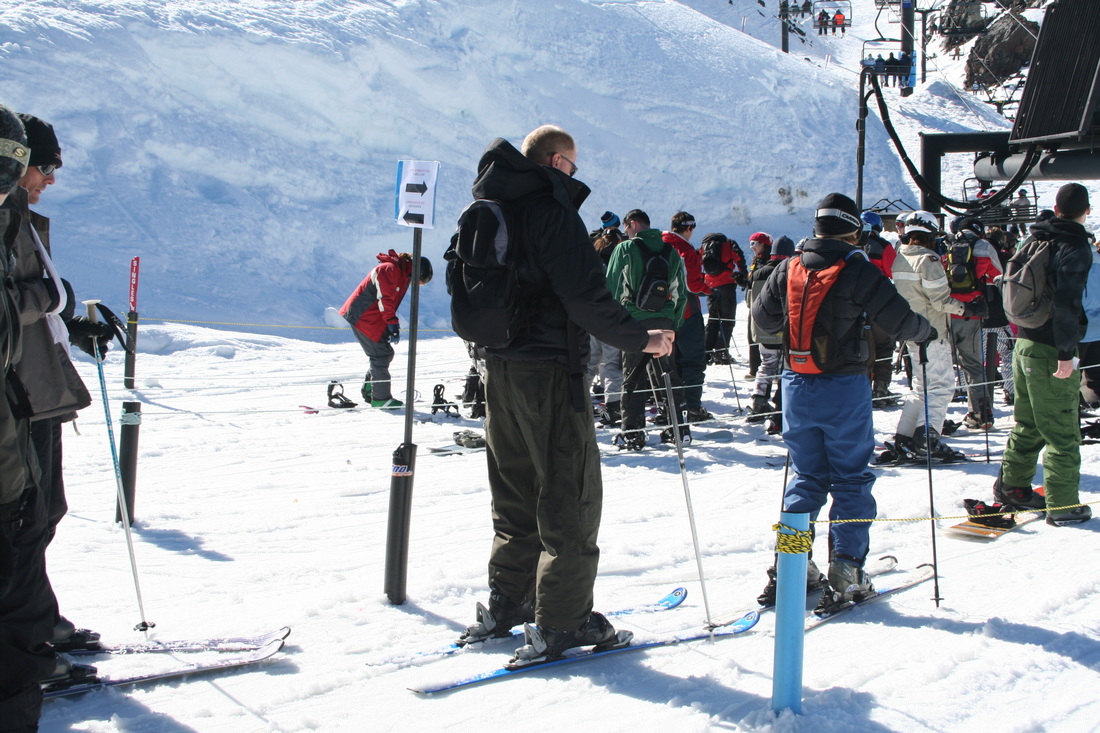
Ski fields
Whakapapa ski field
- Mount Ruapehu has the only commercial ski fields in the North Island, making the mountain a popular place to visit for snow sports.
- The two large ski fields are Whakapapa on the north-western slopes, and Turoa on the south-western side. Both are managed by Ruapehu Alpine Lifts.
- Tukino is a small club-run ski field on the south-eastern side.
- There is on-mountain accommodation at Whakapapa ski field, in 47 private lodges owned by skiing and hiking clubs. The lodges make up Iwikau Village, named after one of the earlier Tuwharetoa chiefs. There are a further five club lodges in Whakapapa Village.
- The first club lodge was built by Ruapehu Ski Club in 1923.
- There is also on-mountain lodge accommodation at Tukino.
Download this information for use in your Research Assignment
| what_are_the_natural_features_of_tongariro_volcanic_centre.docx |
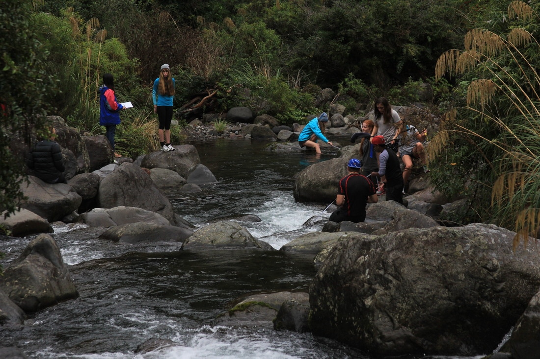
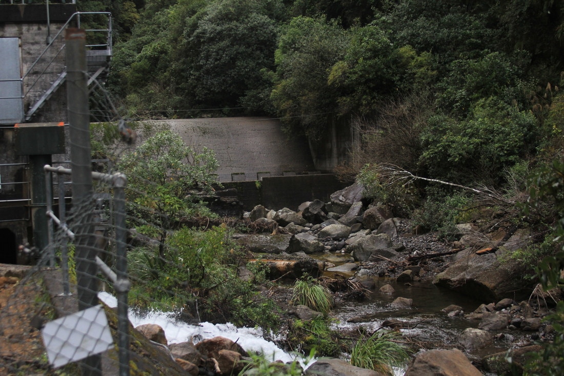
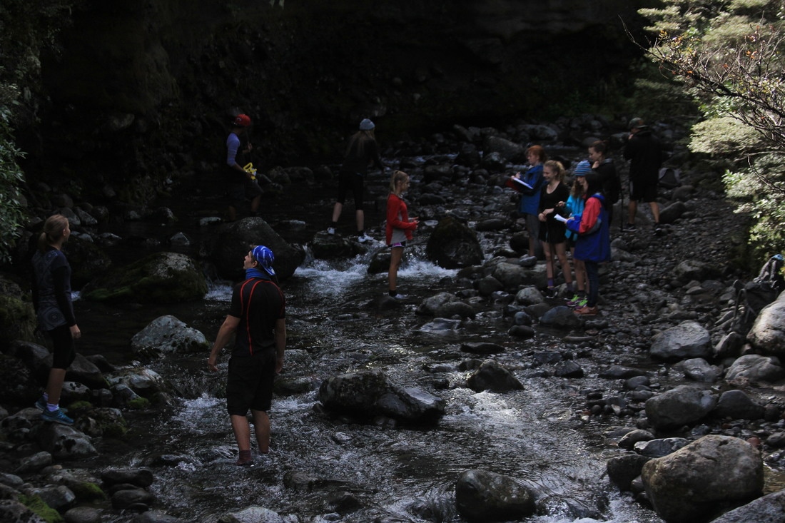
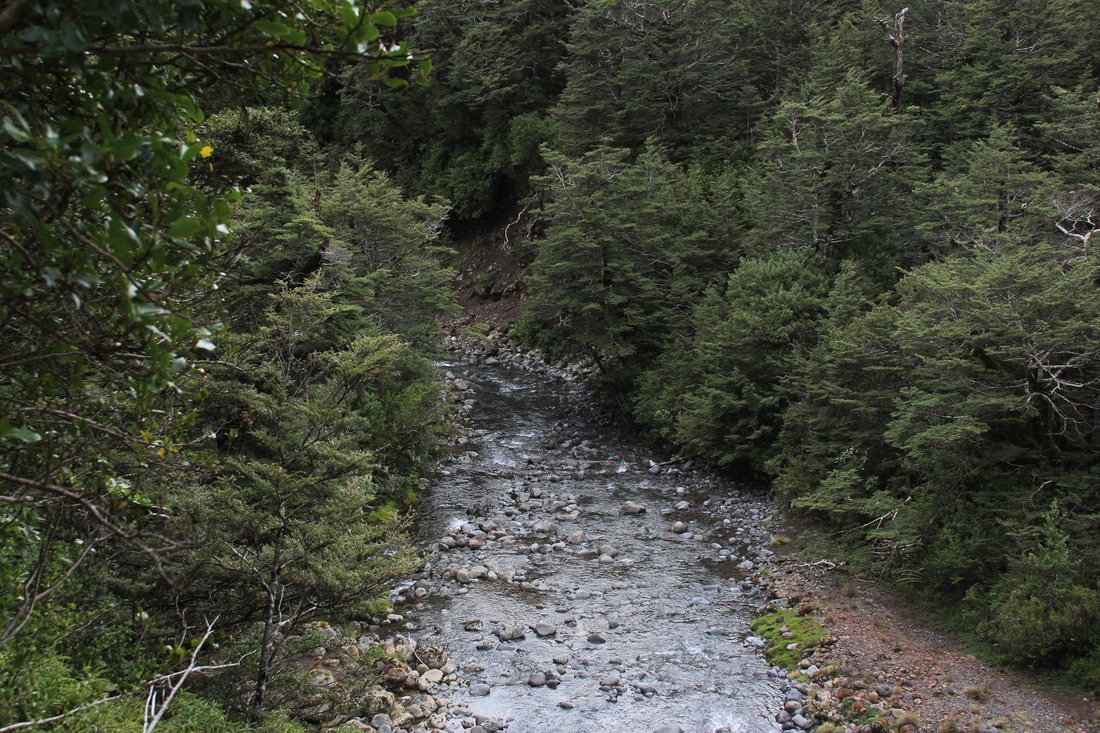
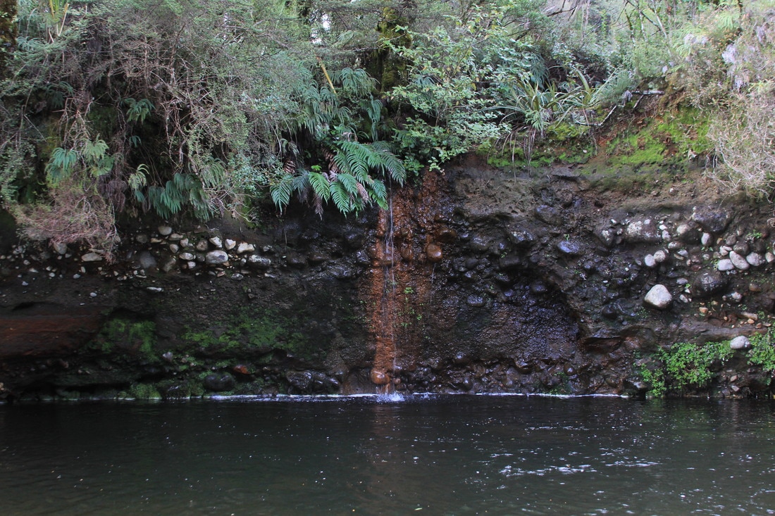
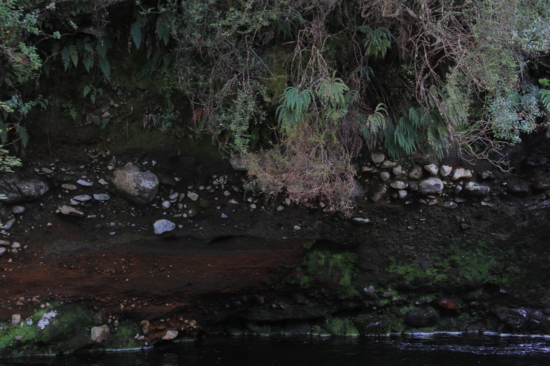
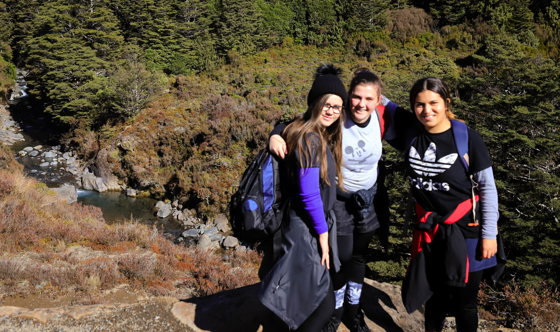
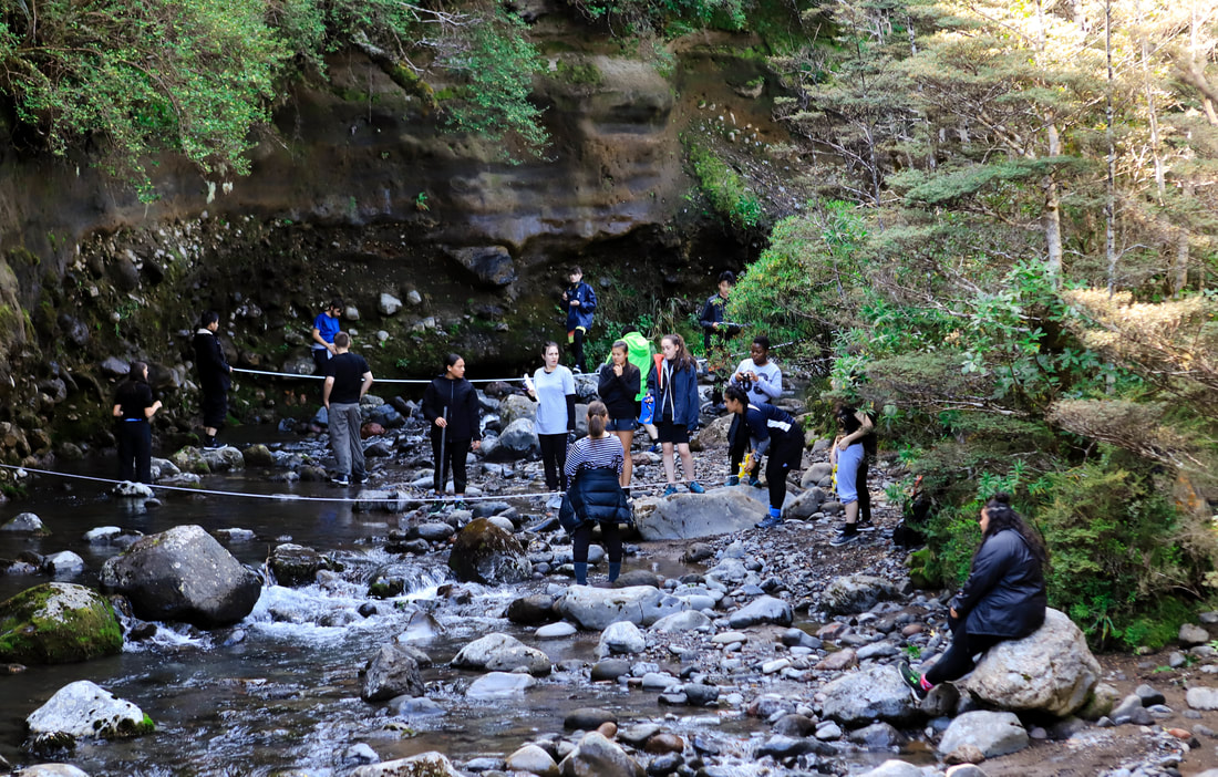
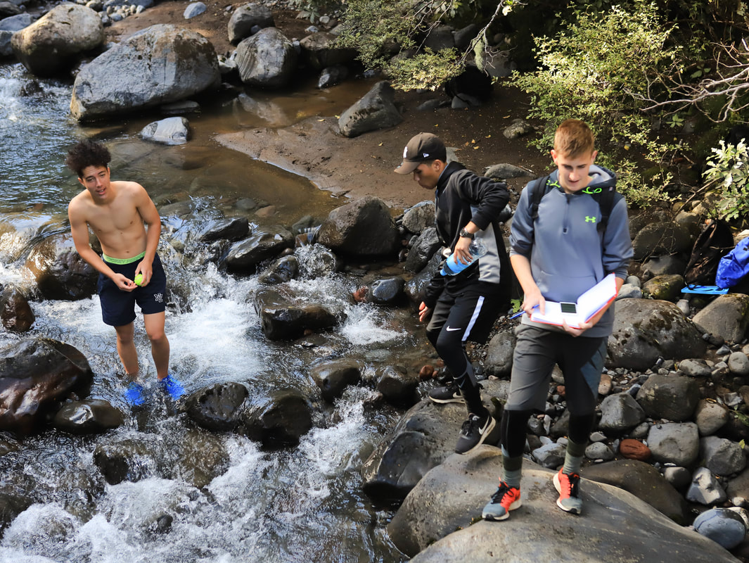
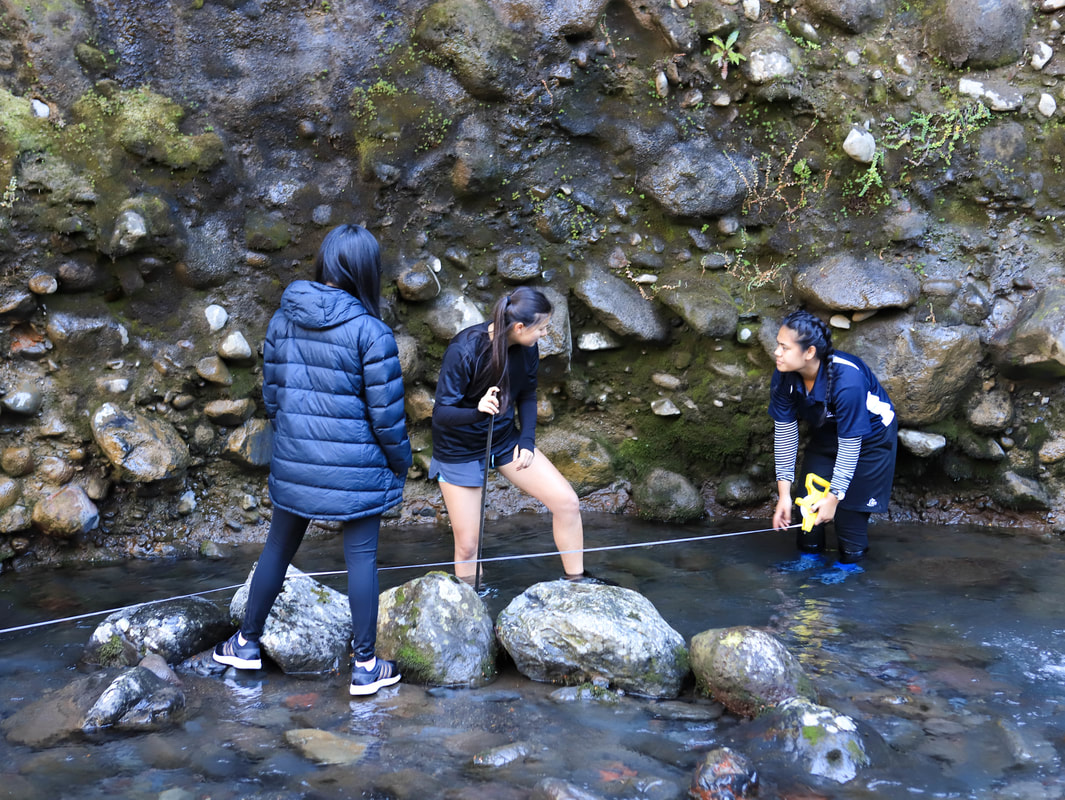
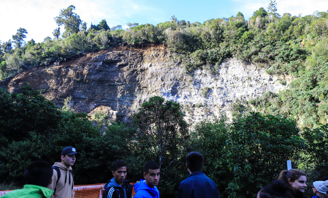
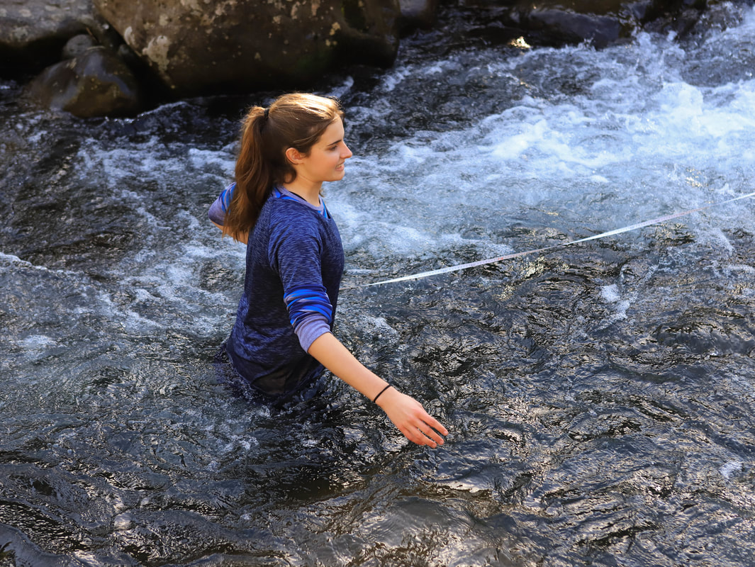
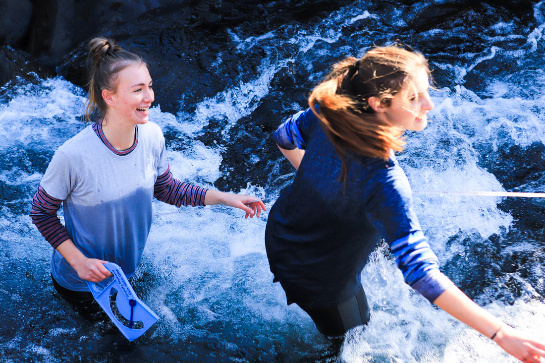
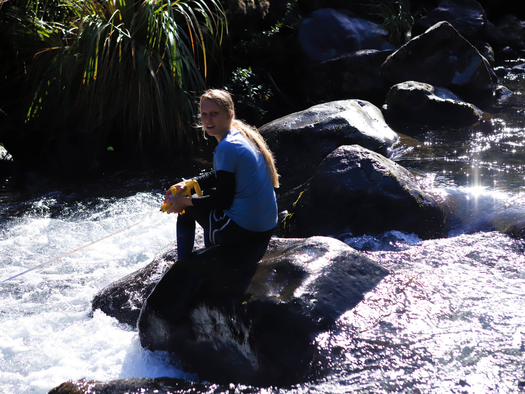
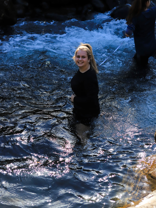
Stream Photos for the assignment
Mangatepopo Stream Photos
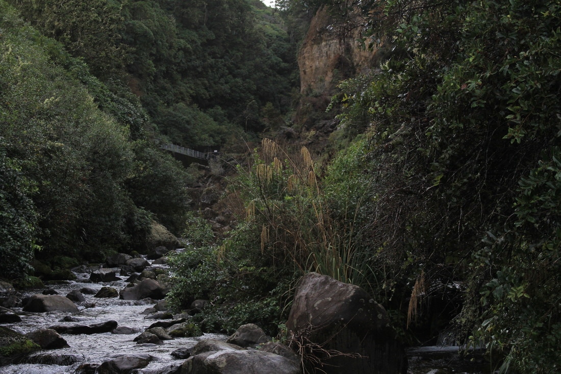
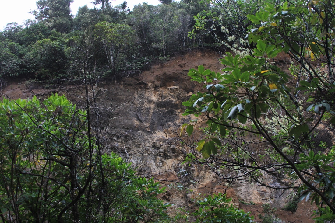
Taranaki Falls Stream
Mangahuia Stream

